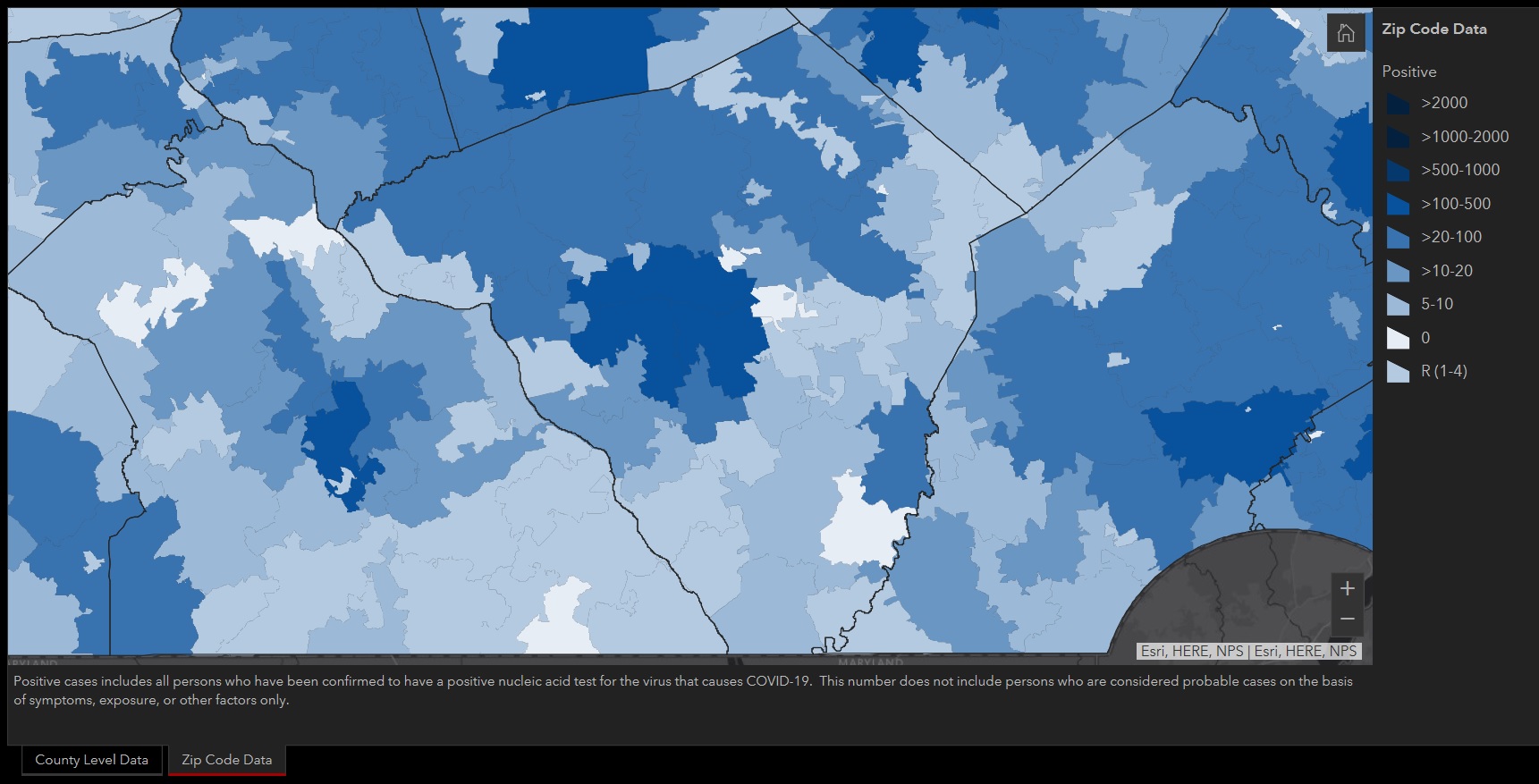
Pennsylvania has added Covid-19 data by ZIP code to its collection of online resources.
The new data expands on the state's county level data. Both levels of data are available as tabs on a clickable map, accessible via the Department of Health's Covid-19 case data page.
As of Monday, April 20, the three ZIP codes that cover Lancaster city and its immediate suburbs show the largest number of cases:
- 17601: 144 cases
- 17602: 211 cases
- 17603: 291 cases
A link to the map can be found on OneUnitedLancaster's Statistics page, along with links to other data and resources.


